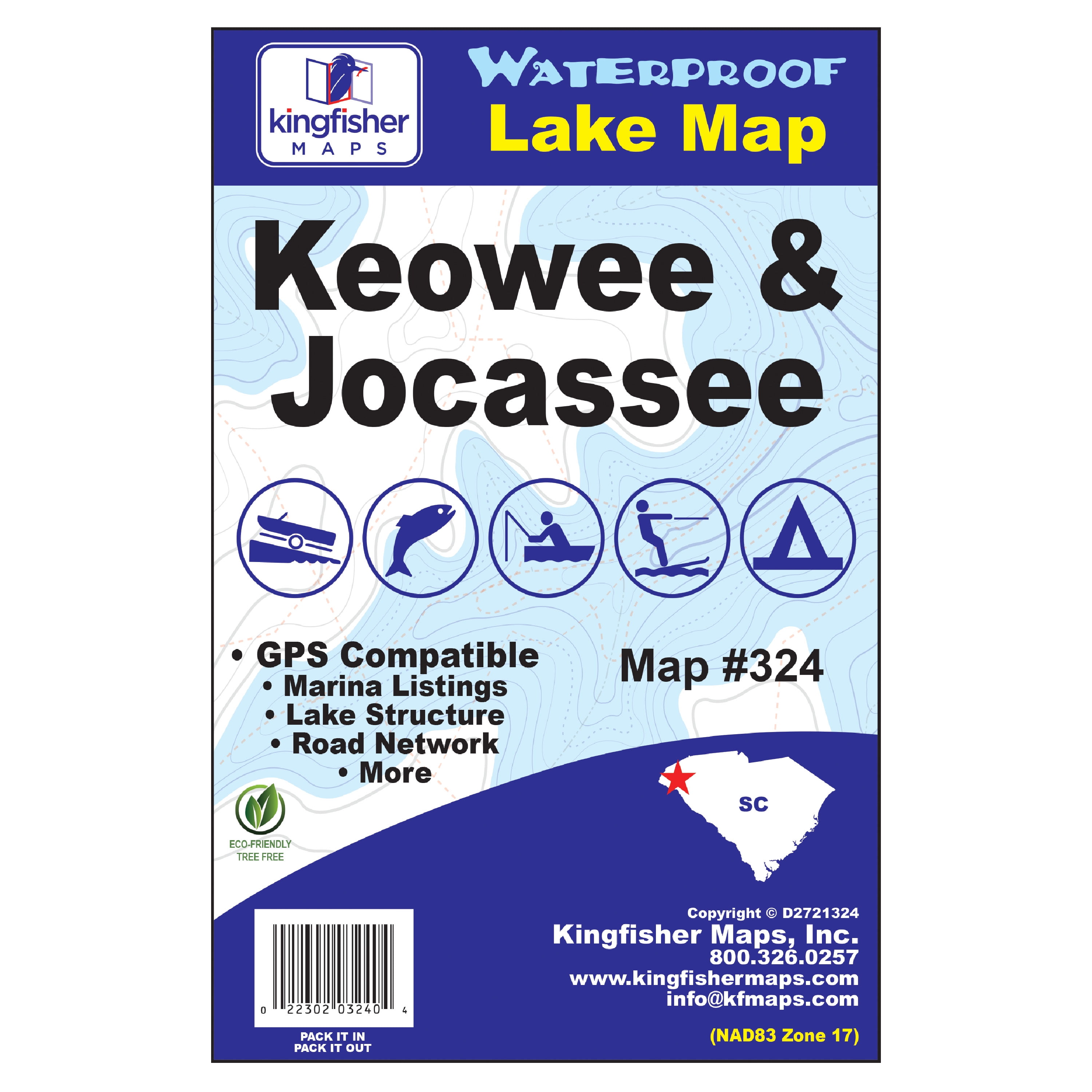
Kingfisher Maps Waterproof Lake Map Keowee & Jocassee SC, 24″x36″ 0.2lb
$ 4.57
Free shipping on orders over £50
- Satisfaction Guaranteed
- No Hassle Refunds
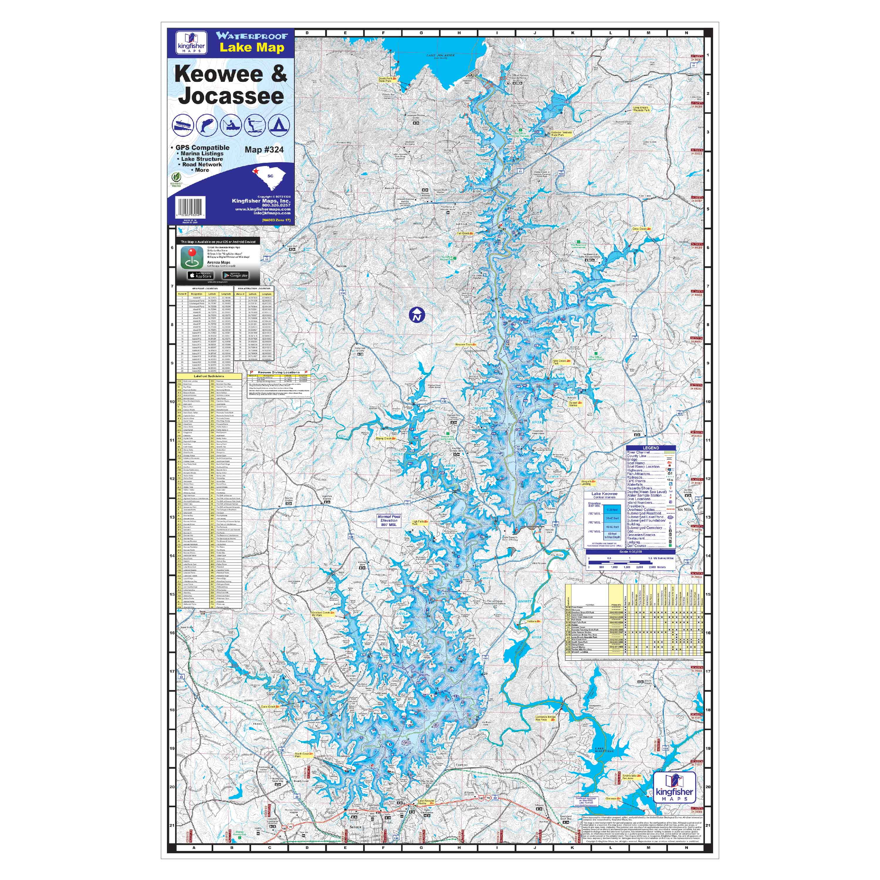
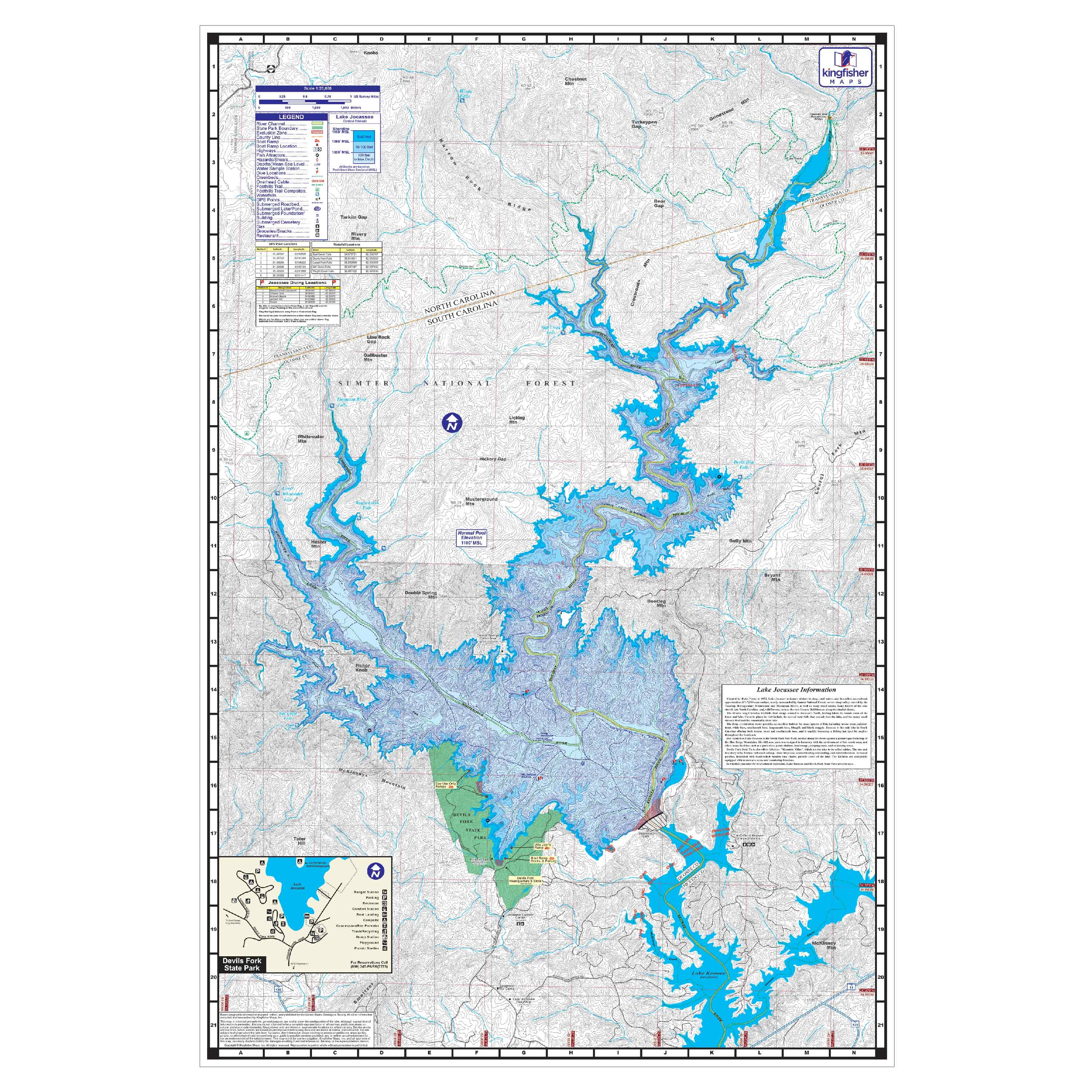
The Kingfisher Maps Waterproof Lake Map Keowee & Jocassee includes detailed coverage of both Lakes Keowee & Jocassee located in the upstate of South Carolina. This 24″ x 36″, two-sided, topographical fishing and boating map includes marinas, campgrounds, recreation areas, boat ramps, contour intervals, river channel, creek channels, submerged roadbeds, buoys, fish attractor locations, & more. The map is printed on a durable, waterproof, tear-resistant paper and folds down to 6″ x 9″. The Keowee & Jocassee maps is the perfect accessory for boaters, fisherman, and water-sports enthusiasts of all ages including Adults, Teens, Tweens & Seniors. Features: Waterproof, Double-Sided, Foldable Brand: Kingfisher Maps Manufacturer Part Number: 324 Assembled Product Weight: 0.22 lb Manufacturer: Kingfisher Maps Color: Multi-color Assembled Product Dimensions (L x W x H): 36.00 x 24.00 x 36.00 Inches
Related products
-
-
-
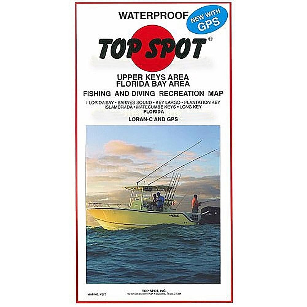
Top Spot Fishing Map N207, Florida Bay – Upper Keys Area Maps
$ 12.38Select options This product has multiple variants. The options may be chosen on the product page -